Muvroni -Sa Canna (C-510)

Image credits Sardegna Digital Library
The pathway
Useful informations
Roadbook
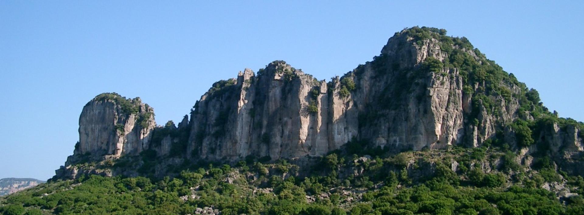
The path begins at the junction with Trail C 204 in the Muvroni locality. It starts on an uphill track for about 1.3 km, skirting the Pitzu S. Antonio locality, and then continues for about 600 m on an uphill path still today used for seasonal livestock droving, until it reaches the Cale Quaddu locality, where it intersects Trail C 500. From here, after crossing Provincial road SP 13 (pay close attention when crossing), it continues northwards on a dirt track that skirts the limestone tacco of Monte Corongiu, to reach the entrance to the Semida Forest area.
From the Forest area, continue in a north-westerly direction and after about 900 m, after passing the AIB (fire protection) station in the Sa Sartaina locality, take a downhill path to reach the Ibba Semida locality, where you will find the Semida information point.
Continue downhill along the forest track for about 4 km, crossing the entire forest area characterised by the presence of scrubland formations with a predominance of strawberry trees and holm-oak formations, until you reach the forest exit gate at Laccara. From this locality, cross the bridge over the Ulassai stream and continue on an uphill asphalt road to reach the rural sanctuary of S.Barbara of Ulassai, probably dating from medieval times.
Continue on a concrete road heading north-west until you reach the entrance to the Oasi Girisaire Forest area and then the junction with Trail C 505.
Trail data and altimetry
Photogallery
Download trail documentation
Opinions
No reviews yet for this path


