From Funtana Li Frati to Lu Paggiolu (F 405)

The pathway
Useful informations
Roadbook
To reach the starting point of trail 405 in the locality of Li Frati, you can park your car at the edge of the Calangianus-Tempio road near the 3 fountains and walk 1,400 km to the starting point. Alternatively, you can drive down the same stretch of dirt road by car to the Li Frati square. The trail starts to the right of the spring, and is clearly signposted. Most of the trail is shaded, so it is best to go in late spring, summer and autumn.
The trail starts off with a steep hill, and is visible even amidst the holm oak forest due to the presence of red and white route markings as per the CAI coding system. The large granite rocks that make up the bouldering area can be spotted amidst the dense forest of trees. Remnants of small yellow arrows indicating some of the marked routes are occasionally visible.
After about 1 km from the start of the trail, it intersects a forest track (to the left it leads back in a ring to the starting point).
The trail continues straight uphill towards Coddhu d'Abbafritta where it intersects another forest track before reaching the junction at Coddhu d’Abba Fritta.
At the junction at Lu Coddhu d’Abba Fritta, a short connecting trail (404A) leads to trail 404. The trail continues to the left in North-East direction.
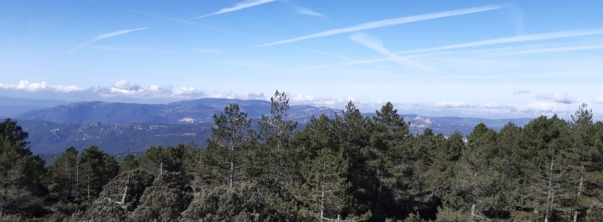
From the junction at lu Coddhu d’Abba fritta, after a short stretch of trail, continue on a forest track for about 1 km to the highest point at Caccaeddu (1097 m asl) where you can admire the surrounding views. From this high point, you start going downhill until reaching a dense forest, where, at Buttaru di Juncu, you must pay attention to the signs.
At the junction of Buttaru di Juncu, another short connecting trail (406A) leads to trail 406. Continue Sout-East to arrive, after about 2 km, at the next junction in the La Suliana locality.
At the La Suliana junction, continue straight, heading North (to the left, trail 406 would take you back to the starting point at Funtana Li Frati) to arrive, shortly afterwards, at the end point at Lu Paggiolu.
Trail data and altimetry
Download trail documentation
Opinions
Reviews
Alex
bel sentiero, da sistemare un po' la segnaletica ai bivi


