Image credits GAL BMG
The point of interest
How to get here
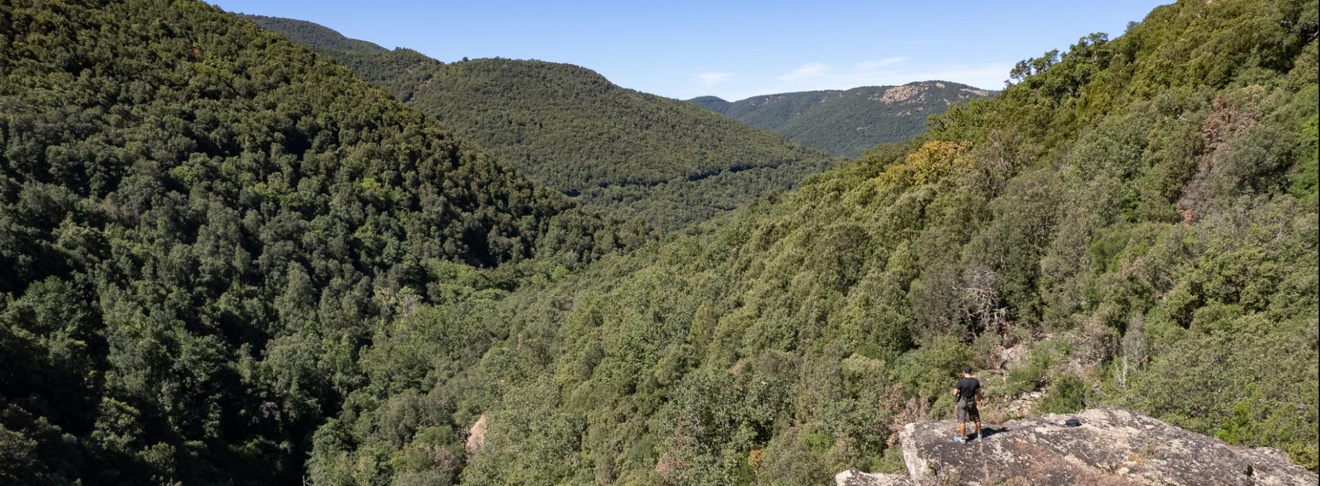
The road continues along the right hydrographic bank of the Torrei River, in a mountainous environment, overlooked by large rocky cliffs and often bordered by a dense forest. On the right, some rocks offer splendid panoramic views of the surroundings. The road becomes a narrow path that cuts through the vegetation, immersed in a beautiful forest broken only by sudden scree 1 slopes and rocky outcrops. Reaching an altitude of 750 meters above sea level, you will find a ford on the right, after which you take an uphill dirt road that soon leads back to the paved road serving the dam on the Torrei River, located a few kilometers upstream. From here, you can either retrace your steps or, especially if you have a mountain bike, return to the village by road, turning right and then right again once you reach the main road.
