From Sa Soliana to Punta Bandera (F-403)

The pathway
Useful informations
Roadbook
Park your car in the area near the spring water fountain (Sorgente Sa Soliana) and after a few metres, you will find on the right the signs (under installation) for trail 403 (formerly trail I), which begins with a short downhill stretch towards riu de Badde Manna. After fording the stream, the trail, in the initial wooded stretch, starts going uphill.
Past the wooded stretch, continue through the scrubland, dominated by the rockrose.
After slightly less than 1.5 km, you will get to a first junction on the right: continue left, leaving Punta Montialvu (901 m asl) to your right and still gaining elevation while admiring the surrounding views and a small lake (on the right).
When you reach the second junction, you will have travelled a little over 2 km. On the right, you will find the start of trail 403 B that heads south joining other trails in this forest area. Keep going straight towards Punta Sa Rocchesa (919 m asl), passing to the right of this relief.
After covering a little more than 4 km, you will come to a third junction, at Sos Elighes Rujos, from where trail 403 A branches off. This too leads south, towards the other trails of this forest area.
Keep following the straight route uphill: you are now over 780 m asl..
You will come across the fourth junction at Pedrasgiolos: here the height is over 1100 m asl and the total distance covered is 7 km. The view here is breathtaking. From this point, trail 409 branches off (although not very visible, due to the thick vegetation) on the right (this is the only trail graded EE (expert hikers) hence more challenging, but very beautiful). The trail continues north towards Punta Paltilatte (1259 m asl), passing it on the right.
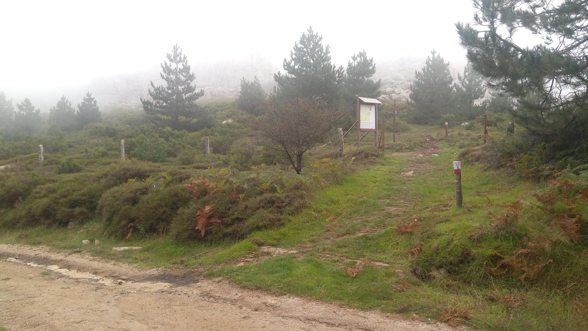
By now your destination, Punta Bandera (or Bandiera according to some), is near. In this last stretch, the route has reached a plateau from which Punta Bandera can be seen. WARNING: in the winter season the plateau might be flooded and there may also be very thick fog, so due consideration must be given to weather conditions and to the fact that they can change quickly on high ground.
Trail data and altimetry
Photogallery
Download trail documentation
Opinions
No reviews yet for this path


