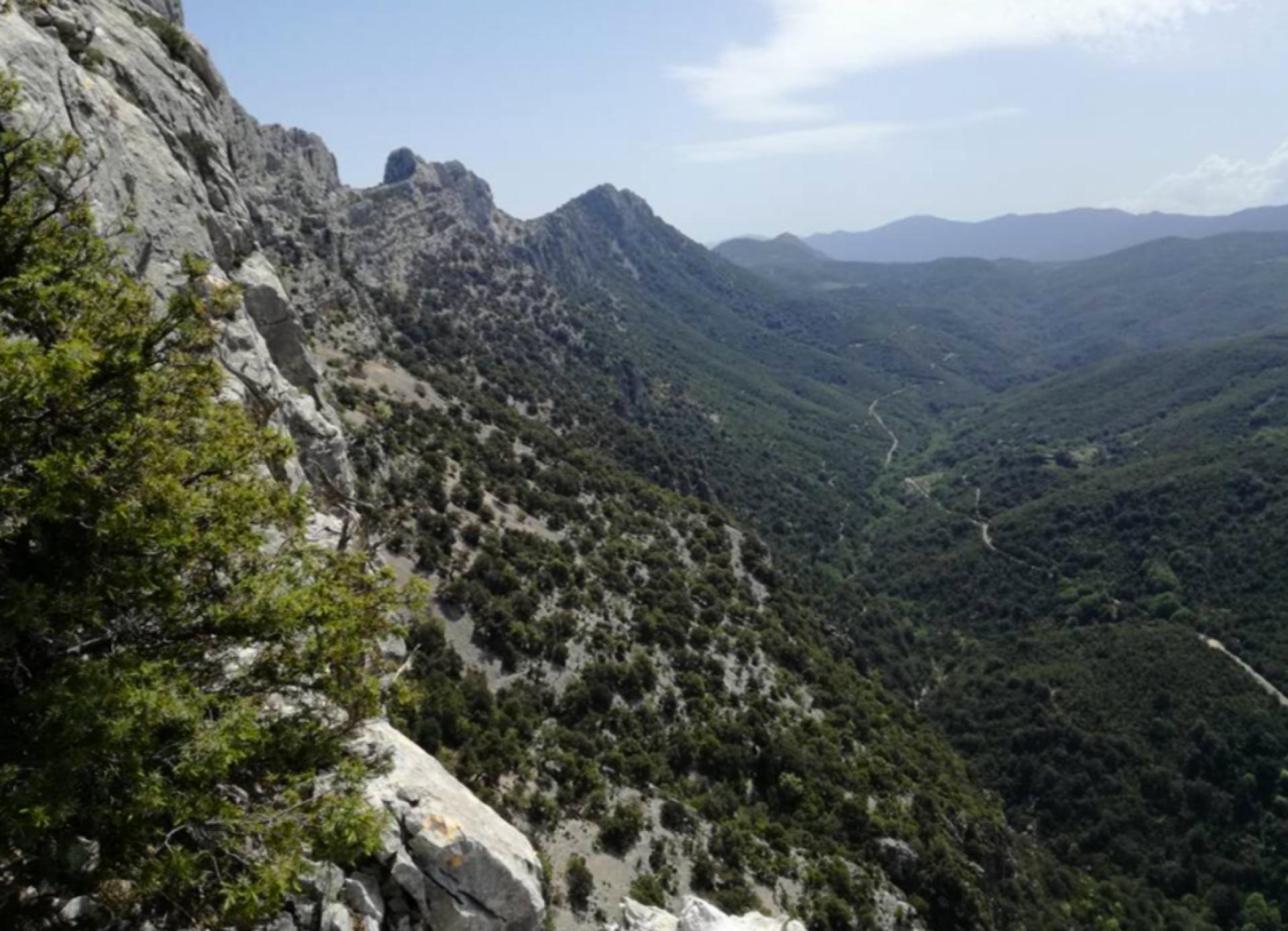
Cuile Ghirovai Photo credits Photo author - Image credits - Usefull informations Route location Ghirovai Geographical area Supramontes Route type trekking - waypoint The point of interest An important landmark along the B-183 trail, also due to the presence of a 'cuile' (traditional shepherd's hut), this location marks the border between the territory of Baunei and that of Urzulei. Show more Show less POI map Expand map Minimize fullscreen map Skip map and go the next section See on interactive map Related pathways Skip Pathways slider and jump to the next section Pathways Genna Salbene - Teletotes (B 183) Time lenght 3 hours 45 minutes Path lenght 12 km 500 m Editorial informations Updated on 15/04/2025 - 12:45 Created on 15/04/2025 - 12:45