Is Ollastus Variant (D 512-B)
Validation level Percorribile

Trail summary
Path lenght 200 m
Time lenght 15 minutes
Difficulty level More infos sui gradi di difficoltà Easy-medium difficulty, for tourists (T)
Activities and warnings
Pathways Activities
Avvertenze e pericoli
The pathway
Normann trail network
Entirely created by volunteers, supported by the Forestas Agency and the Cagliari branch of CAI, this small network connects several miners’ villages: Monteponi, Monte Agruxiau and Monte Scorra, as well as Nebida, Bindua, San Giovanni Miniera and the beautiful Asproni Miners’ Village as well as Monte Onixeddu and the Normann Village itself. The network also connects a series of mining structures rich in history: Laveria Galletti, forno Sabatini, Pozzo Baccarini, Laveria vecchia, the extraordinary Santa Barbara shaft (also known as ‘Sa macchina beccia’) along a route disseminated with evidence of the area’s mining history (wells, tunnels, ropeway conveyors, decauville (animal-towed mining railway), tracks, chimneys, drinking troughs and stables for mine animals).
More than 40 km of cycling and hiking routes, ranging in difficulty from ‘tourist’ to ‘experienced hiker’, extending to the borders and mining remains of the territories of Gonnesa and Iglesias - extraordinary places with a wealth of geological, speleological, naturalistic but also archaeological (e.g. medieval mines) and anthropological heritage. A true ‘summary’ of the attractions offered by the Geo-mining, Historical and Environmental Park of Sardinia.
These routes will allow you to explore the places where thousands of workers lived in the 3 well-known villages: Normann was inhabited by managers and clerks (built in the early 1900s and already equipped with plumbing systems for water supply and waste water) - S.Giovanni miniera, the miners’ village, built by Gonnesa Mining Company Limited, Pertusola Limited (later taken over by Piombo Zincifera Sarda) and finally Bindua Ceramica, where other miners independently built very humble huts.
In the 1930s this whole landscape was completely barren, due to intensive mining exploitation that involved tree felling: today the holm oak wood has regained ground, strengthening the unstable slope, together with sparse Aleppo pine stands (from reforestation projects).
The territory
The territory of Normann lies on the slopes of Monte San Giovanni (formerly known as Monte Barlao). If offers a splendid diverse landscape, a gem brimming with old stories, which have reemerged thanks to the passion of the inhabitants of this small hamlet, with the logistical and financial support of the municipalities of Iglesias and Gonnesa. The Sardinia Trail Network (RES) is the thread that links together ancient routes, on which the miners used to walk to go to church, take the train, or go to town on their few free days. Some of the tails follow the old narrow-gauge FMS railway line that connected Calasetta to Gonnesa and Iglesias (Monteponi scalo). Part of this route is also shared with that created by the Santa Barbara Mining Trail Foundation, which forms part of the larger Sardinia Trail Network.
Special features
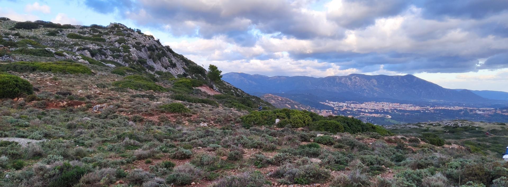
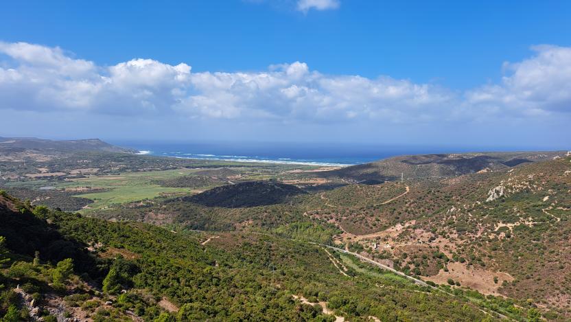
This hiking area is characterised by limestone formations, including limestone pavements (recalling on a smaller scale the formations in Supramonte). It offers expansive views ranging from Carloforte to the peaks of Gutturu Mannu, from the Linas-Marganai massif, to the plain of Cagliari... wonderful sights, which can only be fully appreciated in person.
Useful informations
Trail description
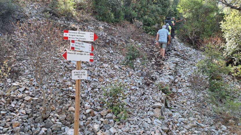
The 512-B variant is a very short linking trail of a few hundred metres, which will only take you five minutes. On the Is Ollastus plateau, at the pass of the same name, it connects Trails 511 and 512, two tracks that almost touch each other here, in the upper part of Monte San Giovanni. This area has a rich geological, paleontological and archaeological heritage.
The connection between the two main trails in this area (511 and 512) is an important feature of this trail network, as it allows you to personalise your itinerary by choosing short loops and variants. In the area of Is Ollastus, named after the highest peak of Monte San Giovanni (431 m), there are traces of the Santa Barbara shaft headframe (one of many with this name) and an ancient church dedicated to San Giovanni Battista.
WARNING: ROUTE IS PENDING REGISTRATION
As of May 2023, the operator managing this network is completing the installation of signs on the route. Final pre-registration checks are in progress.
Risk factors to watch out for
The route does not cross areas owned by IGEA (*) but is within the San Giovanni Mining Concession. The hazards along the route are due to the fact that it runs along part of the outer perimeter of a series of excavations that are fenced off. Outside the route there are mining waste dumps, tunnels, more mine shafts and excavations, with the risk of material collapse, rockfalls, falling inside the mine shafts or excavations, and ingestion of or skin contact with mine waste materials.
(*) After the Ente Minerario Sardo (Sardinia Mining Agency) was dissolved by Regional Law 33/1998, IGEA was appointed to manage the activities for the safety, environmental restoration and remediation of abandoned or soon to be closed mining areas and facilities, in accordance with the policies and guidance from its sole shareholder, the Autonomous Region of Sardinia (Department of Industry).
RULES OF CONDUCT TO BE OBSERVED DURING THE HIKE
Keep the risk factors in mind. Do not stray from the marked path, due to the presence of the above-mentioned dangers. Along the route, do not go near, force open or tamper with the fences and gates around mine buildings or mine sites. DO NOT RELY ONLY ON THIS INFORMATION to plan your excursion. We recommended that you always contact authorised guides or people that know the territory to guide you along the trail if you are not familiar with the places.
Intersections with other Normann Network routes
- with Trail 511 (from San Giovanni Miniera to Gonnesa) on the minecart track’s west side;
- with Trail 512 (from the Normann Village to Gonnesa) on the minecart track’s east side.
Trail data and altimetry
Validation level Percorribile
Path lenght 200 m
Time lenght 15 minutes
Difficulty level More infos sui gradi di difficoltà Easy-medium difficulty, for tourists (T)
Maximum altitude 388 metri
Minimum altitude 368 metri
CAI code Z-SU-D-512-B
Maintainer O.d.V. Villaggio Normann
Managing authority O.d.V. Villaggio Normann
Path designer O.d.V. Villaggio Normann

Trail map
Skip map and go the next sectionDownload trail documentation
Points of interest
Skip POI slider and jump to the next sectionPoints of interest Villaggio Normann (partenza D-512)
-
Route location Normann
Points of interest Valico di Is Guardianus (fine 514, incrocio 512)
Points of interest Branch (east) of 511A from junction 512
Points of interest Laveria Sedda Moddizzis
Points of interest Gonnesa repeater station (D-511 intersection with D-513 B)
Points of interest Bivio D 511 - D 512A presso Belvedere Normann
Points of interest Incrocio sentieri D 512 e D 512A
Guides | Managing authority | Public Administration or institution
Skip Institutions slider and jump to the next sectionPrivato/associazione O.d.V. Villaggio Normann
Opinions
Rating details
No ratings yet
No ratings yet
No ratings yet
Have you been here before?
After walking a path, you can leave a rating on your experience
Rate your experienceNo reviews yet for this path
Report any problem on the trail
Have you encountered a problem during your path on the path? Don't worry, you can easily report it through this form. You will help us keep the trails in perfect condition for other hikers. Thank you for your contribution!
Report a problem


