Deer Museum – Arcu sa Spina (C-815)

The pathway
Useful informations
Roadbook
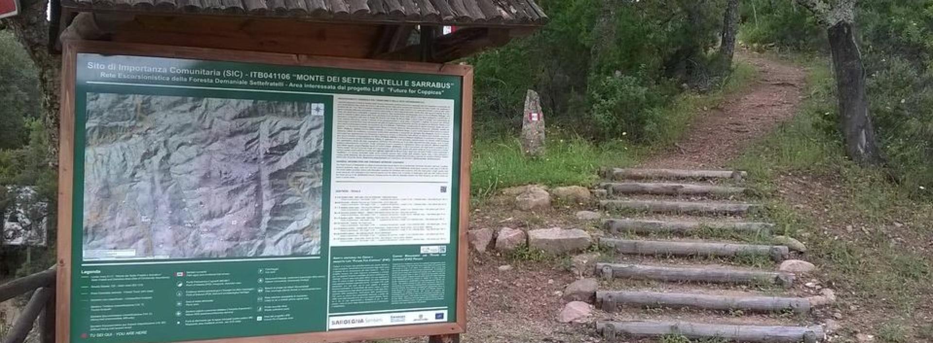
This trail starts from Campu Omu (in the vicinity of the U. Noci forest ranger station, near the fork of the dirt road that leads to Maidopis): from here the trail is clearly visible, initially running parallel to the tarmac road to Monte Cresia, but on a higher level, clearly separated from the vehicular road.
On the first 500 m of the trail, the path will touch on the tarmac road three times, at three different, small stop points offering parking space for one or more cars, which can also be used as access points to the trail to shorten the route.
The route continues, along a slight uphill stretch, on very uneven and stony surface, with rock outcrops typical of the entire Settefratelli massif (weathered granite). Here the trail is fairly shaded by the cork oaks and strawberry trees that make up the woodland: in this section the trail offers glimpses of state Road SS 125 and of Punta Serpeddì and Burcei.
After the first 600 m, the trail has risen above 500 m asl. The path surface becomes once again sandy and similar to a livestock trail; later it becomes stony again.
The slope becomes gentler: at the Arcu Mastinargius locality, you will meet - going up on the left - the first of two short paths connecting to the nearby (and parallel) Trail 814 (“orange” route to Monte Arrubiu). Thick fog is not infrequent here, especially on cloudy days or in the early morning hours.
After the first kilometre of the trail, you will come to a slightly uphill section that leads to the first ford: you will begin to hear the sound of the stream, and you will need to leave the stony cart track that continues downhill on the right, and head slightly left downhill toward the ford near Sedda 'e sa Scova, on a narrower section of the path.
Some stepping stones make it easy to ford the small stream. You should take great care here during the rainy season, as the current and flow of the stream can be significant. After the ford, the trail continues narrow but easy on an uphill stretch, leading to the next stop point (Sedda 'e sa Scova). Before reaching this stop point, you will come across the remains of some charcoal terraces and a viewpoint over Bruncu Mastinargius.
At the end of the uphill stretch you will come to another ford, with little or no water flow (except in cases of heavy rain). Sedda 'e sa Scova is now only a few minutes away.
After reaching and passing Sedda 'e sa Scova, you will arrive at the second short connecting trail, only a few hundred metres long, leading to the parallel Trail 814. From here a downhill dirt road section begins, which in another 20 minutes’ walk will lead you to S'arcu e su Cabriolu. In this section, the tarmac road to Monte Cresia, which you left at the beginning of the trail, is very close and parallel to the trail.
This final stretch, comfortable and shaded by a wood of holm oaks, pines, heather and strawberry trees leads to the firebreak from which you can continue to the Maidopis picnic area (using the last section of Trail 814) or return to the starting point.
Trail data and altimetry
Photogallery
Download trail documentation
Opinions
Reviews
Andrea
Sentiero abbastanza facile, ben tenuto


