Cumbentu - S'Iscala de sa Pruna - Su Adu de su Caddu (G 641)

The pathway
Useful informations
Roadbook
Start from the north of the village in the CUMBENTU locality and cross the grounds of the old convent.
After a gentle uphill stretch, you will arrive at the upper drystone boundary wall and pass through a small gate leading to an old cart track, on a rocky and at times very uneven terrain: from here, still uphill and heading north, the trail intercepts Provincial road SP 17 after about 1 km. Cross the provincial road, heading downhill slightly for a few dozen metres on tarmac until you reach a fountain (CANTARU DE MURRONE) which has been recently renovated and fitted out with a seating area, making it an ideal stop point.
Leaving behind the fountain area, a gently sloping path begins, running parallel to the provincial road for about 1.4 km, immersed in a wood that covers practically the entire mountain.
With a sudden change of direction to the west, you will walk for about 300 m, then on a series of North-West-North bends on a steep uphill course, you will arrive, after another 1500 m, at the blacktop scenic road in the S’ISCALA ’E SA PRUNA locality: you are already at an elevation of 900 m asl. This entire section, under dense tree cover, is on old yet easily walkable tracks which were created over time to reach all the exploitable areas of the forest.
After crossing the scenic road and hiking uphill along a short connecting trail, you will come to a now abandoned dirt road that runs south-southwest parallel to and uphill to the same scenic road just below the upper rim of the mountain that forms the margin of the plateau above.
On the dirt road, continue (along the lower edge of the plateau above) for about 2.3 km with very slight changes in elevation. Then, to your right along the path,
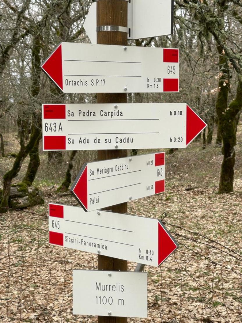
you will see find a signpost with arrows indicating the start of Trail 643-B. This is a connecting trail that crosses a rocky ledge near Punta ORUVERA, equipped with a ladder, of difficulty level expert hiker - EE. It reaches directly PEDRA CARPIDA and then intersects Trail 643-A.
Instead of taking Trail 643-B, stay on your route. A few minutes of slightly downhill walk will lead you back to the scenic road again. Follow it briefly, then take a last very short
downhill section, which ends at the SU ADU ’E SU CADDU junction. From here, if you wish to continue, you can reach Trails 645 (Ortachis) and 643 (punta Palai - Pabude and, also taking a section of Trail 644, the, Mularza noa waterfalls).
Trail data and altimetry
Download trail documentation
Opinions
No reviews yet for this path


