Badu - Su Adu de su Caddu - Palai (G 640)

The pathway
Useful informations
Roadbook
Walk north on a concrete vehicular road for about 900 m to a small bridge that crosses a stream (riu Sas Chias) which often has flowing water.
At the end of the concrete road, at a clearing with some gates, the route continues, in a north-west direction, on a very steep mule track.
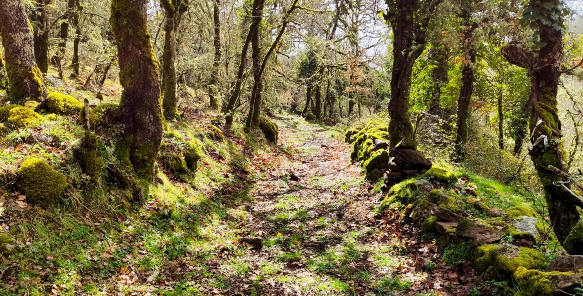
After reaching a small hill and crossing, on a slight descent, another small stream, the trail returns to the maximum gradient on moderately challenging terrain. After a few bends in a southwest direction, the trail - now surrounded by a dense holm oak wood - reaches the Tolovò locality (750 m asl) where a signpost with arrows also points to Trail 640 A (a short connecting trail that in a few hundred metres leads to Trail 642, in the Sa Campana locality).
By taking Trail 642, you can return to BADU and hence to the town on the longer downhill loop (3.45 km).
From Tolovò, still uphill and continuing through woodland on a well-maintained mule track, you will reach S’ABBA ’IA (1000 m asl) where a signpost with arrows marks the end point of Trail 642, offering another loop to return to the village. Alternatively, from the same point, taking a short unmarked but easy trail, you can also quickly reach the panoramic road, a short distance far away, which starts at km 37.400 of Provincial road SP 17 and reaches the upper part of the territory of Bolotana area. This is a useful option in case of need.
After a few hundred metres and still climbing steadily uphill on easy ground, you will reach SU ADU ’E SU CADDU, an important junction with Trail 641, which arrives here from the town on a much wider anti-clockwise route than 640, to the east and north. Here, your trail also meets connecting Trail 643A coming from the high plateau in the north-west. From here too, you can easily reach the panoramic road, only a few dozen metres away, following Trail 641.
You have now reached 1100 m asl. Continuing in a south-westerly direction, past another small stream and gaining another 50 m uphill, you will come to an unsurfaced vehicular road known as Donna Vera’s road. Follow it in a southerly direction, on level ground, for about 500 m, until you find on the right a recently cleared and improved trail, which on a steep slope allows you to pass the last rocky spurs and reach the former fire lookout with a wide vista towards the plain of Bolotana and Ottana and the mountains that surround it to the south-east.
From the lookout, a short trail through the rocks leads to SA SEDDA ’E SAS AERAS, a level clearing where a diversion of the panoramic road ends (on maps this is also shown as ‘punta Palai road’). After crossing it - and following a short stretch of dirt road to the west - you will reach the highest peak of the mountain: 1200 m asl. Important features of the area include the tomb of Gerald Piercy (son of the engineer Benjamin Piercy, whose story was tied to that of the town) and the new fire lookout, which is being raised and is positioned to command a 360-degree view.
You have now reached the final destination of PALAI, where the route ends and where Trail 643 begins, an itinerary which runs across the plateau to the Pabude area.
Trail data and altimetry
Photogallery
Download trail documentation
Opinions
No reviews yet for this path


