Church of San Giovanni – Tinnì D-324

The pathway
Roadbook
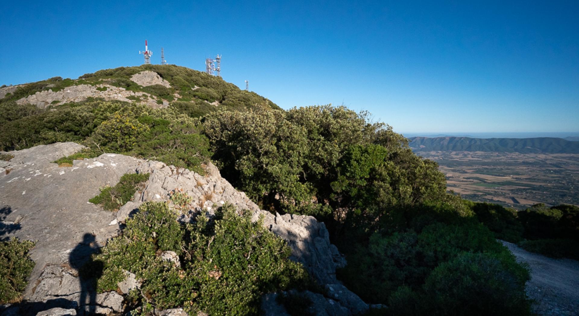
You set off from the large square in front of the church of San Giovanni, a short walk from the famous cave of the same name which lies just uphill among the olive trees. Behind the little church you’ll find a small path that runs alongside the fence of a private livestock farm, keeping to the right and then heading uphill. Continue through a pretty wood with evident signs of wear, taking care not to miss a crossroads that marks the start of trail 323, also known as Sa ia de su Vagoni. Here you turn left, starting to climb steeply via wide hairpin bends through the woods that gradually thin out, and keeping to the right at a clearly marked crossroads that indicates the Chinatown crags. You cross a firebreak strip, entering the woods again immediately on your right and crossing either high up or slightly lower down to reach the bottom of a small thalweg, known as Su Corovau like the nearby mine. You keep left at the which fork you meet at the beginning of the thalweg, before climbing again. You pass the intersection with trail 324B, continuing a challenging, steep ascent through the woods with gradually smaller trees, until you reach the ridge on the scenic dirt road leading to San Michele, whose summit complete with antennae is clearly visible on the left.
The location is breathtaking, with views over the valley of Cixerri and the whole area of Linas and Marganai. You resume walking, heading to the right along the dirt road surrounded by woods, quickly passing the intersection with trail 334 and leaving the road as you follow the signs and turn left onto pretty charcoal makers’ mule tracks through the woods. After a first flat stretch, you head down to a small thalweg, carefully following the signs through a maze of unsurfaced roads, one of which is used by trail 322 that you pass on your left. You climb back up along a pretty dirt road which levels out as you cross a lovely wood of holm oaks in the direction of the houses and theheliport of Marganai, passing the intersection with loop trail 320A and arriving at the gate of the heliport and Case Marganai.
You continue along the dirt road, on your left the impressive mining structures of Case Marganai, now home to theForestas forestry authority. Here you can also visit the Linasia Botanical Garden , a real gem which is very well tended by the authority's staff. Head right, crossing the unsurfaced car park and proceed until you reach a small pass, nearby which you again come across loop trail 320A. You start to descend via wide hairpin bends in the direction of the valley and Reigraxius mine.
The mule track leads past numerous mining sites and generally speaking in the woods you’ll see various signs of mining activity in the area. A last hairpin bend leading downhill takes you out of the woods after which, in rapid succession, you encounter the intersections with trails 326 and 325. You arrive at Case Reigraxius, also known as Is Acacias due to the presence of several ‘false acacia’ or black locust trees planted here when the now-abandoned mining site was still a working village.
A last hairpin bend leads to an easy dirt road, where you’ll also encounter trail 320B which ends here. Continue to the right for a few metres, then turn left again downhill along an easy dirt road that leads to the Reigraxius mine and its massive excavations. Keeping the main building on your left, you cut through the landfills of inert material, reaching the bottom of Gutturu Farris, a stunning wooded valley that carves a channel into the heart of the mountain, the sheer cliff faces standing out through gaps in the vegetation. You continue along level ground before heading uphill again, the path steepening as you go and leading past a few almost-hidden remains of Campu Spina mine as you proceed along a quiet dirt road. Climbing to an altitude of 700 metres, you come across a large dirt road that comes from the area of Malacalzetta.
You head right, gradually uphill via wide hairpin bends, some of which afford splendid view over the road travelled and the valley of Sa Duchessa. At a turn on the route, you’re rewarded with stunning views of the Linas complex and the area of Tinnì - Arenas, the destination of this hike. A last uphill stretch leads to the summit of Campu Spina, occupied by communication antennas.
From here it's a steep descent into the woods via a little-used charcoal makers’ mule track which you then follow across a narrow mountain ridge.
Having reached about 1.6 km from the arrival, in the Cea Spreni area, a crossroads (junction 324-B) indicates the proximity of the track of the D-329 path (from Borgo Sa Duchessa to Rio Tinni) which can be reached in less than 200 metres of travel.
You exit the woods quite suddenly and are faced with the the mammoth excavations of Arenas - Tinnì, a mainly open-pit mine that literally destroyed the mountain. You’ll find a dirt road that comes from the excavation zone, which you follow to the right to quickly arrive at the houses of Forestas at the former Tinnì mine.
Trail data and altimetry
Photogallery
Download trail documentation
Opinions
No reviews yet for this path


