Mariani, Chiesa San Giuseppe - Punta Riu e Chelos (G 605)

Image credits Fo.re.S.T.A.S.
The pathway
Useful informations
Roadbook
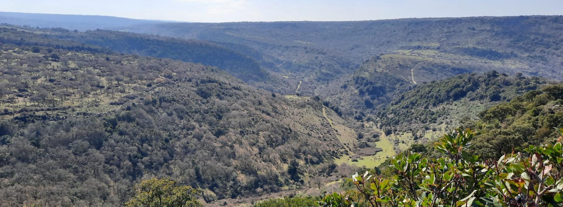
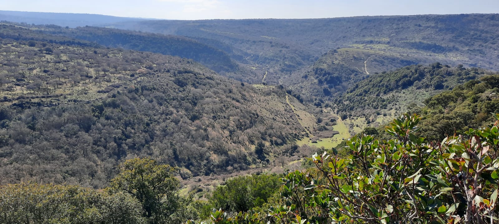
The trail develops uphill for the first part, passing behind the church and the Mariani Service Center and then continues until it meets two streams that can be easily crossed. From here the trail continues into a landscape characterized by wooded pastures where the arboreal component is represented by cork trees and where it is possible to encounter numerous cattle grazing; in this stretch it is possible to use some water points for livestock.
The trail then continues uphill in the locality of Pedra Iscriva until it reaches the G 602 trail where the route ends. From this point it is possible to continue in the direction of Illorai – Goceano or return in the direction of Mariani through the archaeological area of Sa Pala Larga.
Trail data and altimetry
Photogallery
Download trail documentation
Opinions
No reviews yet for this path


