From Cantoniera 49 FMS to Normann Village (D-515)

The pathway
Useful informations
Roadbook
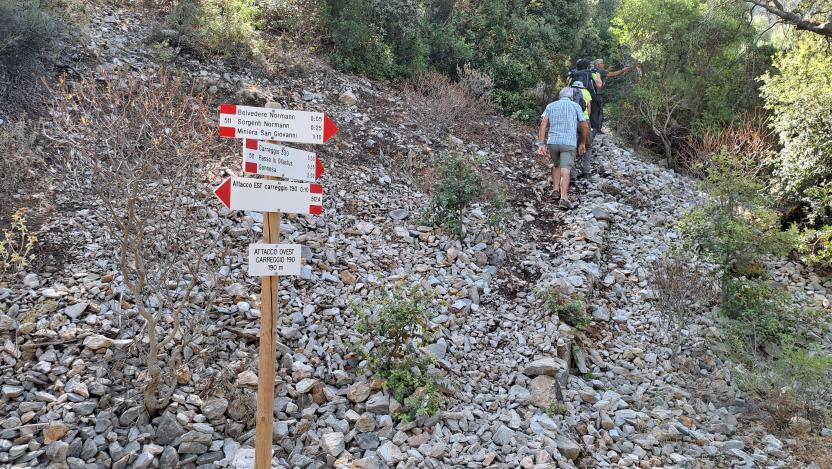
The trail branches off from trail 513 at the site of the old railway service building (Cantoniera No. 49), climbing up a short section traced across a tailings pile.
The trail enters holm oaks woodland which gradually thickens keeping the trail in the shade until the end point. This first section comes to an old mining road, which you must take heading west for about 50 m, after which you will enter the southern drainage basin, which, via a series of bends, leads to an elevation of 150 m where you will cross trail 511, which in that portion runs on the route of an old decauville (small animal-towed mining railway). It is to the use of draft horses and mules that we owe the set of springs and drinking troughs that lie just below the 511 route. These infrastructures, built in the late 19th and early 20th century, served as a watering point for these precious animals, which could drink and feed here on the carob pods harvested from the trees purposefully distributed along the route. The springs are fed by groundwater and therefore may be dry in some periods.
WARNING: In any case, we do not recommend drinking the water from these springs, as they are not tested for contaminants. However, the place is cool, fascinating and certainly worth a break.
After passing the intersection with Trail 511, keep going south inside the natural drainage basin in a forest that is now colonised by old pine trees, planted by the mining company to freshen the area and provide healthier air to the village, and to extract from the bark resins that were used to operate some machinery.
You will reach a narrow tarmac road indicating that you are now in the heart of the Normann Village: follow it uphill for about 100 m to reach the trail end.
Trail data and altimetry
Photogallery
Opinions
No reviews yet for this path


