Overview of the itinerary
Sentiero Italia runs the length of the island’s eastern side, covering its most important mountains, in 28 stages. Starting from the north: it flanks the Monte Limbara massif, crosses the limestones of Mont’Albo and Tuttavista, skirting the Gulf of Orosei, it crosses the Supramonte, Gennargentu and the Tacchi of Ogliastra and reaches Perdasdefogu. Further south, it passes through Armungia and the Gerrei sub-region. Lastly, it touches on the villages of Burcei and San Gregorio, continuing on the Sette Fratelli massif to the old prisons of Castiadas.
General information on Sentiero Italia (Grand Italian Trail)
Sentiero Italia, or Grand Italian Trail, as also explained on the official website, is a walking route that crosses the whole of Italy, using mainly but not exclusively “registered trails”.
In particular, in Sardinia, not all the stages of the Sentiero Italia of CAI (Italian Alpine Club) are made of trails already included in the registry of the Sardinia Trail Network (RES), either because they have not yet been tested and approved or simply because they cannot be registered as they do not meet the requirements. However, as a whole, the Sentiero Italia is the single longest walking route currently crossing Sardinia from the north (S. Teresa Gallura, stage Z 1) to the south (Castiadas, end of stage Z 28), touching on the most fascinating mountain areas in central-eastern Sardinia: the plateau of Buddusò, Tepilora, the Cedrino river valley, the ancient forests of Montes, Perda Liana and the regional forest of Montarbu, Monte Genis, and lastly the regional forest of Settefratelli (among the many crossed by the various stages of this long hiking itinerary).
Information on this stage of the trail
This stage begins by retracing your steps on the paved path, whence you came from Orosei, to the start point of the Iscala Omines, which you will leave on our left to continue towards the old tunnel built in 1863 to connect the town to the sea where the small town of Cala Gonone has since developed.
After walking through the tunnel, you will reach the ridge of the mountain above state road SS 125. Follow a very scenic path in a south-southwesterly direction to the Suttaterra area, passing near a fascinating natural arch.
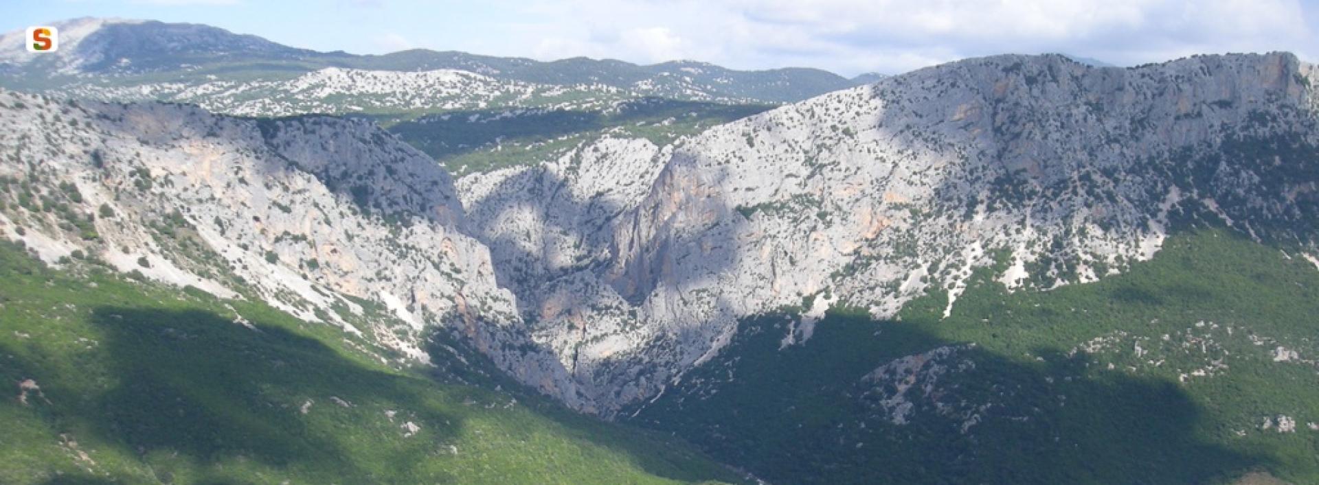
A steep downhill stretch then leads to road SS 125 (Orientale Sarda) below, which you need to follow for about 550 m. Leaving the road, near the entrance to the ‘Sa Pruna’ Forest, continue downhill, first on a dirt road and then on a well-maintained path, to reach and ford the Rio Flumineddu stream near the path leading to the Gorroppu gorge.
Continuing in a northerly direction and passing the turnoff for the S’Abba Arva bridge you will easily reach the stop point of Surtana. You will find water in the Forest, at a spring along the route. Please note there are no permanent reception facilities at the Surtana stop point. We suggest booking logistical support with Mr Salvatore Fancello, aka Baddore, at 3470086640, owner of an accommodation facility about 800 m from Surtana. We also recommend the utmost caution when walking on the short stretch of the SS 125 road, which is a favourite road of motorcyclists, especially in spring and summer.


