Image credits Sardegna Digital Library
The point of interest
Photogallery

Talana, vedetta di Olinie
Incollu GiampieroSardegna Digital Library
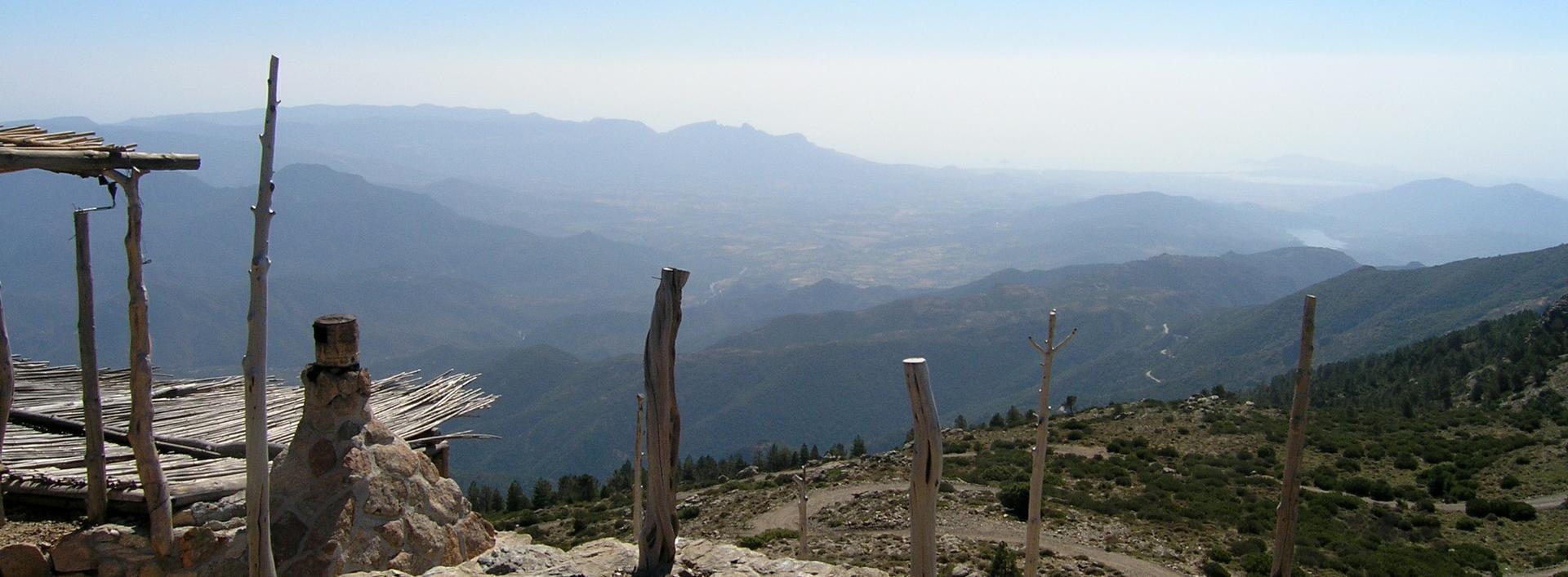
Talana, vista panoramica dalla vedetta Olinie
Incollu GiampieroSardegna Digital Library
Panorama dal monte Olinie
Piscedda OdiliaSardegna Digital Library
Panorama dal monte Olinie
Piscedda OdiliaSardegna Digital Library
Talana, vista panoramica dalla vedetta Olinie Autore- Incollu Giampiero.jpg

Talana, vista panoramica dalla vedetta Olinie Autore- Incollu Giampiero 2.jpg

Panorama dal monte Olinie
Odilia Piscedda Sardegna Digital Library
Ogliastra, il monte Olinie
Piscedda OdiliaSardegna Digital Library
