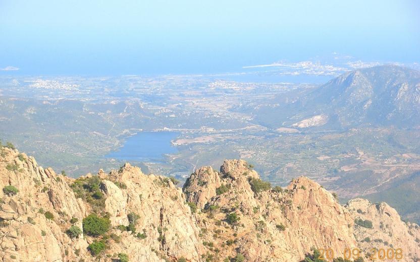
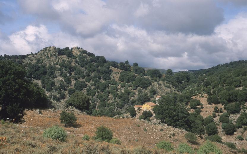
Arzana (Starting point B 540A) Photo credits Photo author Loi Elisabetta Image credits Sardegna Digital Library Usefull informations Geographical area Gennargentu Ogliastrino Route type Woods, Parks or Forest Areas The point of interest Starting point of Trail B 540A, located on the northern edge of the town of Arzana in the La Pineta area at 773 meters above sea level. Show more Show less POI map Expand map Minimize fullscreen map Skip map and go the next section See on interactive map Related pathways Skip Pathways slider and jump to the next section Pathways Villagrande Station – Arzana (B-540) Time lenght 3 hours 30 minutes Path lenght 10 km 900 m Pathways Arzana – Monte Idolo along Via Crucis (B-540A) Time lenght 1 hour 30 minutes Path lenght 3 km 100 m Precedente Successiva Editorial informations Updated on 14/04/2025 - 10:11 Created on 14/04/2025 - 10:09
Pathways Arzana – Monte Idolo along Via Crucis (B-540A) Time lenght 1 hour 30 minutes Path lenght 3 km 100 m