Image credits Agenzia Forestas
The point of interest
How to get here
It is located a short distance from the T 702 trail.
Photogallery
Punta la Croce
Gianluca SchirruAgenzia Forestas
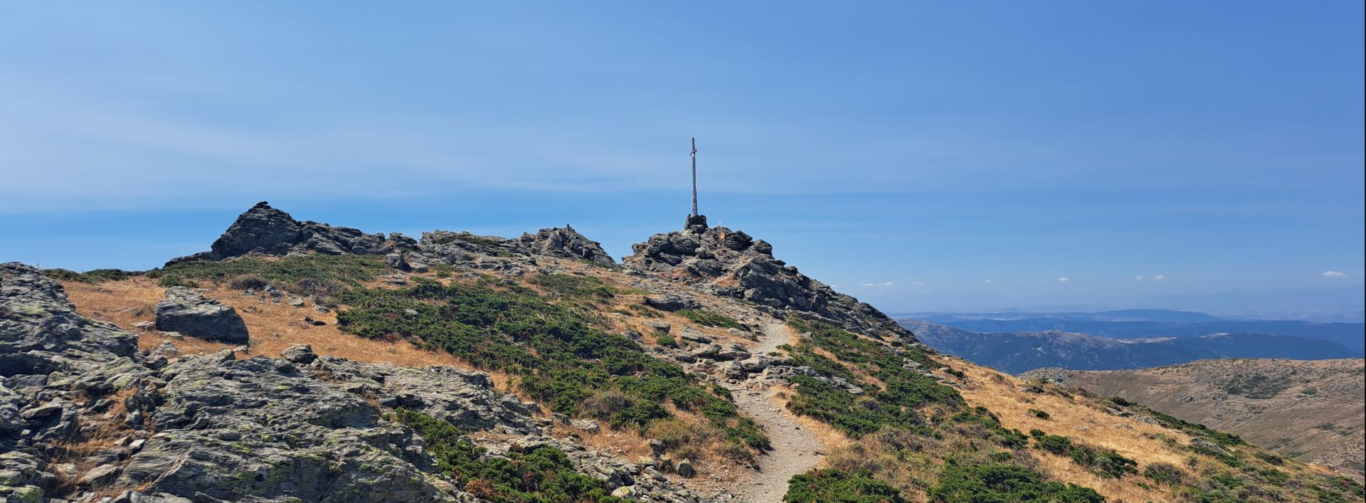
Punta la croce vista dal sentiero
Gianluca SchirruAgenzia Forestas
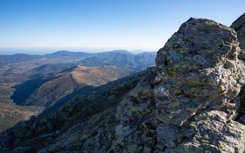
Punta la Croce
Gianluca SchirruAgenzia Forestas
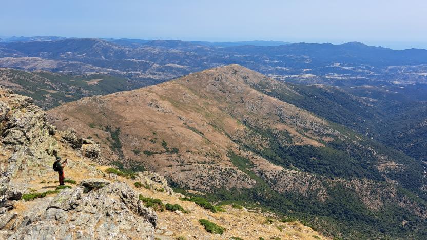
Vista a 360 gradi da Punta Lamarmora
Gianluca SchirruAgenzia Forestas
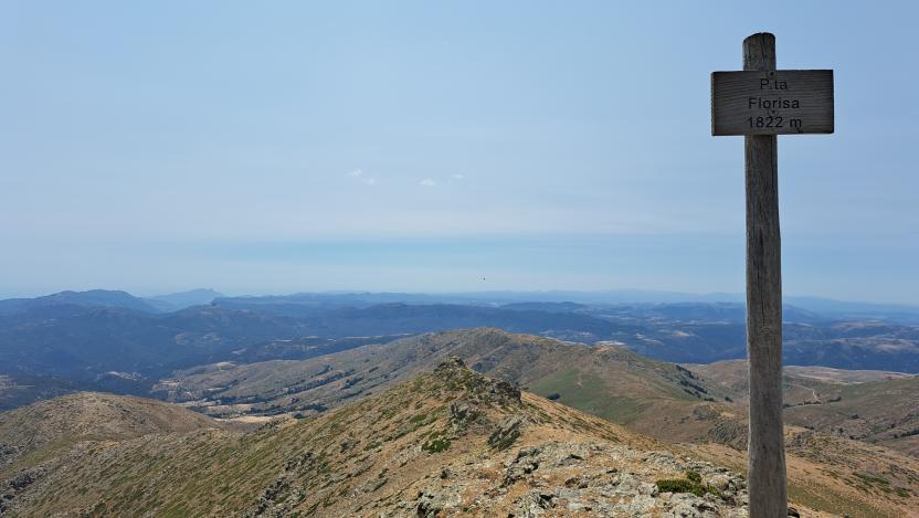
Vista da Punta Lamarmora
Gianluca SchirruAgenzia Forestas