S’accu e Serbissi- Funtana Sa Brecca (C-521)

Image credits Sardegna Digital Library
The pathway
Useful informations
Roadbook
The route runs entirely in the Osini countryside, starting out in the S’Accu ’e Serbissi locality at the intersection with Trail C 504, following a forest track, it passes the Funtana Noa area (835 m asl) and continues slightly uphill to the Scala Suistressi locality (961 m asl). This last stretch is particularly scenic, overlooking the Rio Taquisara valley, from which you can admire the cliffs of Scala and Gannas, the monumental tacco (rock outcrop) of Perda ’e Liana and the peaks of the Gennargentu.
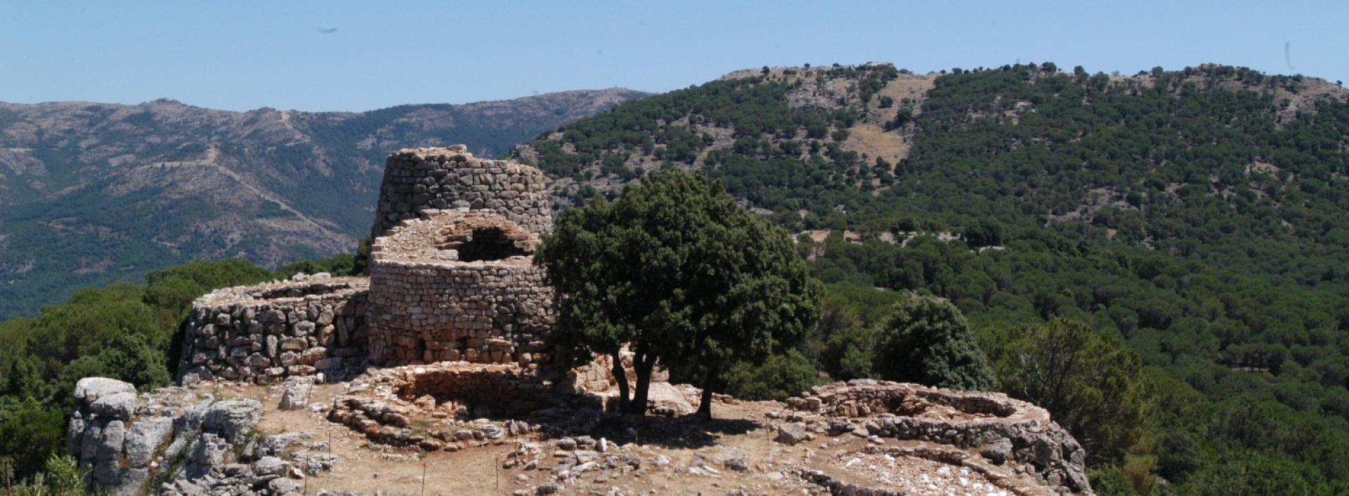
In the Scala Suistressi locality you will find the entrance to the Su Lioni cave, which is active and rich in stalactites and stalagmites. Continuing on, the track heads down to the Urceni nuraghe (920 m asl) standing on the summit of a rocky hill, surrounded by a wall and with a 5-m-high main tower.
Continue on the downhill track to the intersection with the Mortu Marci Municipal Road, then on level ground heading south-southeast to the Sa Brecca locality (804 m asl), where you will come across the turnoff for the Information Point at the Forestas Agency building, about 200 m away. In the Sa Brecca area, in the Funtana Sa Brecca locality, which can be reached by continuing along the path heading south until the intersection with Trail C 505, there are a number of facilities, some belonging to the municipality, including a church, an amphitheatre and picnic areas.
The last section of the trail crosses the Protected Nature Area (RIN) of the Valley of the Orchid, in the Sa Brecca locality, home to an extremely rare endemic wild orchid Dactylorhiza elata (Poir) Soó subsp. sesquipedalis (Willd.) Soó.
Trail data and altimetry
Photogallery
Download trail documentation
Opinions
Reviews
Aloisio
Il percorso era molto bello, ora che Forestas l'ha sistemato, dell'anello originario è rimasto solo il braccio ovest. Ma si può comunque percorrere tutto o chiudere ad anello usando il vecchio pezzo


