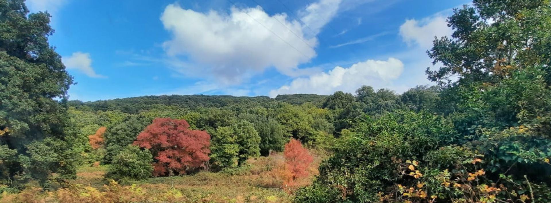
Basile - Illorai (G 603)

Image credits Fo.re.S.T.A.S.
The pathway
Useful informations
Roadbook
The start of the trail is located along the G 602 one in Basile; it proceeds east until it crosses near Frida provincial road 52; after about 100 meters it crosses the G 604 trail.
The trail continues and crosses the Sos Laccheddos stream and goes up along the dry stone wall; after about 810 meters it arrives at nuraghe Serralò from where it begins to descent towards the provincial road 52 that crosses after 1.2 km. After 1 km from the crossing, the road continues on the land of Agris , running alongside the provincial road 112 for approximately 1.2 km to reach then the Iscuvudè rest area.
After passing the football field, the trail continues turning left; along the route it is possible to admire a monumental oak tree on the left; further on, when the trail reaches a fork, turn right and via the G 607 trail it is possible to reach nuraghe Mannuri and a panoramic point. The trail continues on a downhill dirt road until it reaches after 3 km the village of Illorai after 3 km.
Trail data and altimetry
Photogallery
Download trail documentation
Opinions
No reviews yet for this path


